Customer Challenges
- The Clair Field is located 75km west of Shetland in water depths of up to 140 meters. It comprises a naturally fractured sandstone reservoir, which over the scale of the Clair Field made reservoir connectivity and compartmentalization risk key uncertainties for field development planning
- The 206/8-13Y Clair Ridge appraisal well was located 8km from the existing Clair production platform and designed to confirm the next stage of development of the field
- An opportunity was identified to instrument the well with a CaTS gauge at the time of final abandonment, thus converting it to a long-term monitoring asset. Observing for interference effects resulting from production or injection events on adjacent assets would demonstrate wide-scale reservoir connectivity
Expro Excellence
- A Drill Stem Test (DST) was performed on the well using a permanent packer and tailpipe
- On completion of the final pressure build up, a CaTS gauge was conveyed into the well throughtubing and hung off below a bridge plug set at the bottom of the tail pipe
- The DST string was then recovered to surface and the well permanently abandoned in accordance with the applicable UK regulations
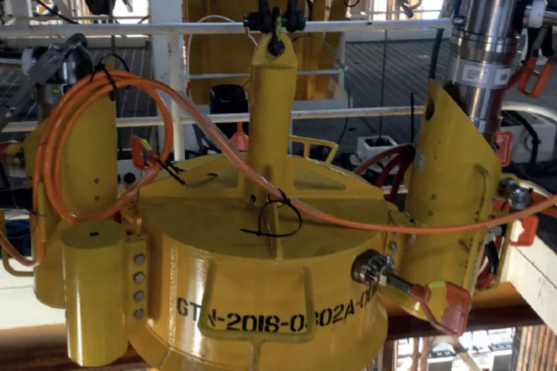
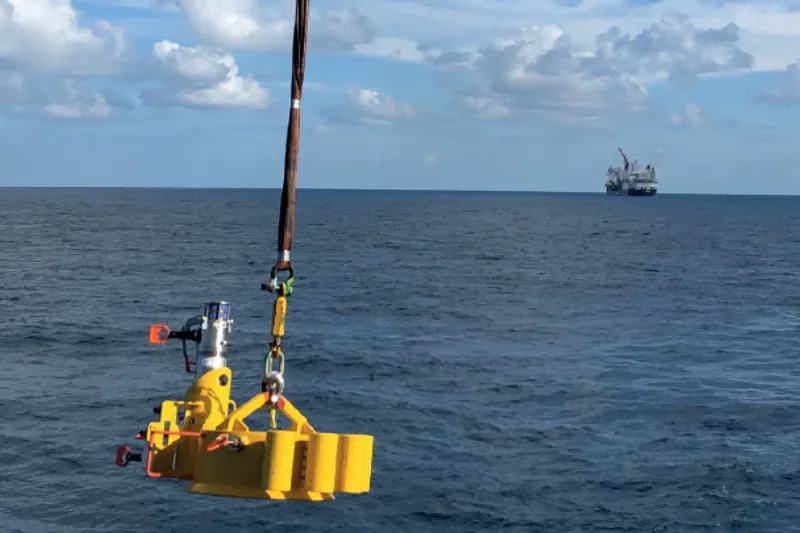
- After installing a CaTS subsea receiver on the seabed, the rig departed the abandoned well location allowing the reservoir pressure and temperature data being transmitted from downhole to be collected at the receiver
- Provides a unique wireless reservoir monitoring solution in a permanently abandoned subsea appraisal well
Value to Client
- 18 months of high-quality reservoir data was recovered from the permanently abandoned subsea appraisal well at low incremental well cost
- The correlation of the reservoir pressure responses and trends between the Clair phase 1 platform and the Clair Ridge appraisal well provided clear evidence of reservoir connectivity
- Cost effective Advanced Reservoir Testing in an abandoned subsea appraisal well provided high value data to steer the future development planning on Clair
Contact
For further information, please contact wireless@expro.com.